
Chowan Riverfront: 5 Questions to Ask

In this post
- 1. Is the parcel in a mapped flood zone?
- 2. What would flood insurance actually cost?
- 3. What does the seller say, in writing, about flood history?
- 4. Where is the buildable ground, and what does the yard do in a wet February?
- 5. Who would buy it from you later?
- The honest trade-off
- The Bottom Line
- Footnotes
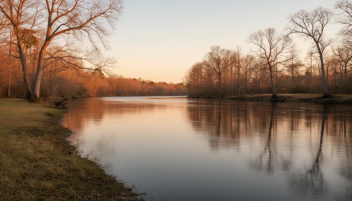
Standing on the bluff in Winton on a still summer morning, you can watch the Chowan slide past, slow and brown, wide as a lake, the far bank just a dark line of trees. The water is calm. The price on river-adjacent land here is some of the lowest you’ll find on any navigable river in North Carolina, and the reason, as anyone local will tell you, is spelled F-E-M-A. Flood maps, insurance, and resale math are the real due-diligence list on riverfront property, and they’re the questions worth asking before you fall for the view. Here are the five I walk buyers through on every Chowan or Meherrin parcel.
1. Is the parcel in a mapped flood zone?
Start at the two free tools: FEMA’s Flood Map Service Center at msc.fema.gov and North Carolina’s flood mapping site at fris.nc.gov1. Both are searchable by address. You’re looking for whether the property sits in a Special Flood Hazard Area, a moderate-risk shaded zone, or outside the mapped floodplain entirely. Do this before you’re emotionally attached, and do it for the exact parcel. Flood maps are parcel-specific and they get revised; the designation next door doesn’t transfer2. Elevation, distance from the bank, and where the mapped line actually falls differ lot to lot. Pull the map for the parcel you’re buying, every time.
2. What would flood insurance actually cost?
If the structure is in a Special Flood Hazard Area and you’re financing with a federally backed loan, which covers most conventional, FHA, VA, and USDA mortgages, flood insurance is required as a condition of closing3. Not negotiable, not waivable at the lender’s discretion. Coverage comes through the National Flood Insurance Program or, increasingly, private flood carriers. What a policy costs depends on the structure’s elevation relative to the base flood elevation, whether an elevation certificate exists, the building’s age and construction, and your coverage amount. Those inputs vary enough house to house that any number I printed here would be a guess, and this county’s brief doesn’t print guesses. Get a real quote during your due diligence window, before the offer goes hard.
3. What does the seller say, in writing, about flood history?
A flood zone letter tells you what a lender will require. It doesn’t tell you how the river has actually behaved on that land. Ask the seller, in writing, about flood history and past claims. Ask the neighbors; on a rural river, they’ve watched the actual water. Ask whether an elevation certificate exists for the structure, because it materially changes insurance pricing, and it’s worth requesting from the seller or ordering yourself. And remember that hurricanes push water up these rivers from the sound side. Storm surge and wind-driven water are part of the risk picture on the Chowan, not just upstream rain.
4. Where is the buildable ground, and what does the yard do in a wet February?

Plenty of river parcels in Hertford County have a high-and-dry house site with mapped frontage acreage below it, which is the best of both: you own the water without living in the floodplain. The way to find out is to look at the actual ground. Where does the house sit relative to the river? Is there a bluff, like the one Winton was built on, or does the lot flatten right down to the water? Ask the people on the road what the yard does after a wet week in February, because maps are models and the neighbors have watched the real water. Wet-season access to the lot, the condition of the bank, and whether the road to the house floods are questions the map won’t answer.
5. Who would buy it from you later?
This is the question most riverfront buyers skip, and it’s the one that determines whether the discount is a deal or a trap. River-adjacent property in a mapped flood zone generally trades below comparable dry land, and that discount is not a market inefficiency waiting for you to exploit it4. It prices in real, recurring costs: insurance premiums for as long as a structure stands there, stricter and costlier rules if you build or substantially improve in the mapped zone, and a smaller pool of future buyers willing to carry all of the above. That last one is a resale-liquidity cost, and it matters more in a county where liquidity is already thin. The water isn’t the risk. The exit is.
The honest trade-off
None of this makes river property a bad buy. The discount is rational, and sometimes it’s worth taking: plenty of buyers want the water badly enough that the carrying costs are a fair trade. The point is to take it with your eyes open. Price the insurance, the rules, and the exit before you decide the view is worth it. If the numbers come back ugly, that’s the system working. Better to lose a week than buy the wrong parcel.
The Bottom Line
Five questions, asked before the offer, and riverfront in Hertford County is one of the best water deals in the state: Chowan and Meherrin frontage at rural-county prices, with the honest part front-loaded instead of paid for at the closing table. Travis has pulled the flood layers, the elevation certificates, and the insurance quotes on river parcels across the county, and he can walk you through all five checks before you commit. Call or text him at (252) 202-4945, or schedule a chat, and start with the river chapter for the full walkthrough.
Flood maps, insurance requirements, and program rules change; verify current details for any specific parcel with FEMA, your lender, and an insurance agent before relying on them. NC Real Estate Broker, License #334264. Equal Housing Opportunity.
Footnotes
-
FEMA Flood Map Service Center: msc.fema.gov; NC Flood Risk Information System: fris.nc.gov ↩
-
FEMA Flood Map Service Center: msc.fema.gov ↩
-
FEMA / National Flood Insurance Program: floodsmart.gov ↩
-
Market framing from the Hertford County river chapter: Winton, Cofield & the Chowan River ↩
Keep reading
7 Signs a Rural Hertford County Listing Is Priced to Move
Seven signs a rural Hertford County listing is priced to sell: the septic file, de-titled mobile homes, price cuts, and what the land itself carries.

Commute Math from Ahoskie, Winton, and Murfreesboro
Hertford County commutes by the numbers: measured drive times from Ahoskie, Winton, and Murfreesboro to the mill, Greenville, and the Virginia line.

9 Things to Inspect on an Older Murfreesboro or Winton Home
An older Murfreesboro or Winton house has nine expensive surprises. Here is what to inspect, from roof age and sill rot to wiring, plumbing, and records.